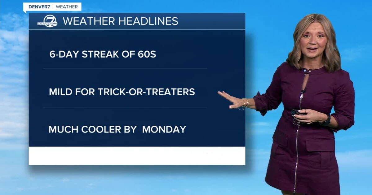
Denver in the middle of a six-day streak of 60s
It's a gorgeous start to the day and we're in for a pretty mild fall afternoon across all of Colorado.
You'll find plenty of sunshine for the morning commute, with a little increase in cloud cover this afternoon. Those clouds will roll in from the west but it will stay dry in the mountains through Friday afternoon. Temperatures will climb into the mid-60s by 4 p.m....it will be the third in our six-day streak of 60 degree temps for Denver.
Mild and dry in Denver for the end of OctoberScattered rain and snow showers will spread across the western half of the state late Friday into Saturday. We'll see more cloud cover on the plains Saturday, but Halloween night doesn't look spooky at all in the Denver metro area! We'll see highs in the low 60s by 4 p.m. and then temperatures will sit in the mid-to upper 50s from 7pm to 9pm for trick-or-treaters. We'll have partly cloudy skies around the Front Range with a few light showers in the High Country.
The bigger weather story arrives late Sunday into early Tuesday. A strong upper-level storm system and a powerful cold front are expected to move across Colorado, bringing much colder temperatures, powerful winds and increasing chances for precipitation. Exactly how this system tracks will determine where the heaviest precipitation falls and whether areas along the Front Range see meaningful rain or snow.
For now, the mountains have the best chance of seeing accumulating snow. Snow levels could start around 10,000 to 11,000 feet before dropping to roughly 6,500 to 7,000 feet by Tuesday morning. We'll also be closely watching the Foothills and Palmer Divide, where there's a better chance that the rain switches to snow. Stay with Denver7 for updates!
DENVER WEATHER LINKS: Hourly forecast | Radars | Traffic | Weather Page | 24/7 Weather Stream
Click here to watch the Denver7 live weather stream.
Ver nota original ↗
¿Querés un resumen rápido de esta noticia, hecho por nuestra IA?