Cool and cloudy Halloween forecast
Mother Nature with a trick or a treat this Halloween?
It felt a lot more like October on Friday, only reaching 58 degrees. That is a sharp drop-off from Thursday's 76 degrees. This will not be a top-ten warm Halloween, but it certainly won't be a record cold one either. Typical highs for today are in the upper 50s, and that's where temps land this afternoon. It might feel colder than yesterday, however, due to plentiful clouds.
There is a large but disorganized storm across the middle of the country, with light rain showers nearby this afternoon and evening. A sprinkle or two can't be ruled out, mainly for our west and south regions.
Trick-or-treat-cast: Keep the Costume Layers HandyBy trick-or-treat time, temps will drop through the 50s, and there could be an isolated shower wandering through Northeast Ohio.
Most neighborhoods stay dry. Most little princesses, ghosts and ghouls make it home without dodging raindrops.
The best chance to see a sprinkle will be in our south and west regions.
Regional WeatherTemps spring ahead despite clocks falling backThe cooler weather doesnt stick around long even though the clocks 'fall back' an hour tonight.
Sunday turns warmer, and that trend carries us into November. Highs make another run toward 70, with any significant rain holding off until the middle or end of next week.
So yes, Halloween throws us a couple tricks. But November may have a few treats waiting for us. Rain holds off until at least Wednesday, and heavy rain looks likelier by mid-to-late week.
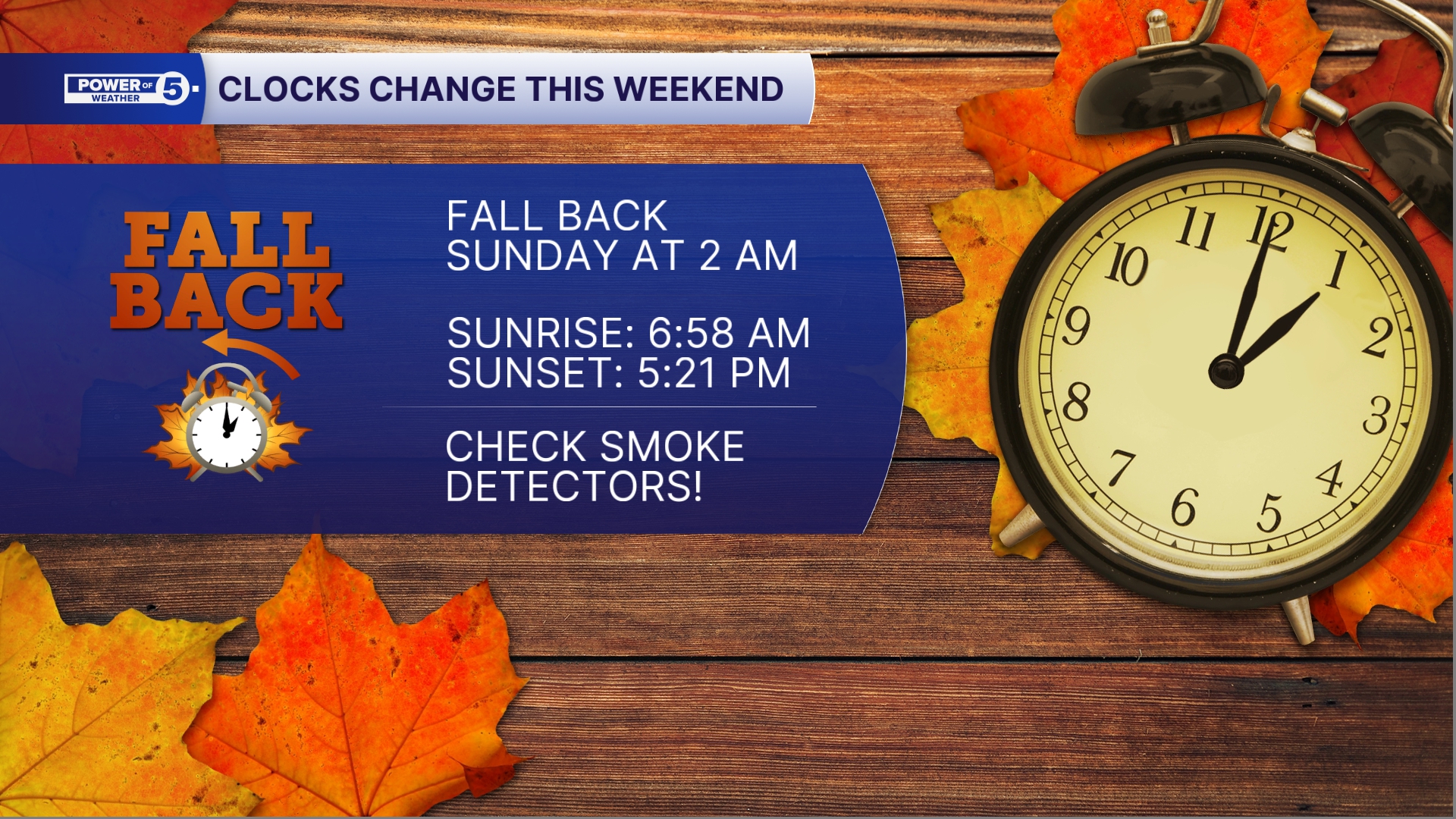
(Another) REMINDER: Time Change this weekendWe will see 1 am twice tonight, as at 2 am Sunday, clocks will go back one hour. This will bring the sun up earlier, but also it will set earlier too. On Sunday, the sun will rise at 6:58 am and set at 5:21 pm!
Halloween: Partly sunny, mild, showers possible. | High: 62
Sunday: Rain possible. Still warm. | High: 70
Monday: Isolated showers possible. Mostly cloudy. | High: 70
Tuesday: Mostly cloudy, mild with isolated rain. | High: 74
Tuesday: Mostly cloudy, mild with isolated rain. | High: 73
Learn the lingo: The Power of 5 Weather Team wants to get you your forecast closer to home. We have broken NEO into 5 separate and distinct regions. Find your region to get your hyper-local forecast!
Cleveland Metro Region: Cuyahoga County. This region includes cities such as Cleveland, Parma, Westlake, Berea, Strongsville, Independence, Solon, Beachwood, and Euclid. Snowbelt Region: Lake, Geauga, and Ashtabula Counties. This includes cities such as Mentor, Geneva, Ashtabula, Bainbridge, Chardon, Burton, and Orwell. Akron-Canton Region: Summit, Stark, and Portage Counties. This region includes cities such as Akron, Canton, Hudson, Ravenna, Mantua, Alliance, and Canal Fulton. West Region: Lorain, Medina, Erie, Huron, Richland, and Ashland Counties. This region includes cities such as Lorain, Wellington, Medina, Lodi, Ashland, Mansfield, Willard, and Sandusky. South Region: Wayne, Holmes, Tuscarawas, Carroll Counties. This region includes Wooster, Millersburg, New Philadelphia, Strasburg, Mineral City, Carrollton, and NewcomerstownYou can send us photos and short videos by filling out the form below:
Want the latest Power of 5 weather team updates wherever you go? Download the News 5 App free now: Apple|Android
Click here to view our interactive radar.
Follow the News 5 Weather Team:
Trent Magill: Facebook & Twitter
Katie McGraw: Facebook & Twitter
Ver nota original ↗
¿Querés un resumen rápido de esta noticia, hecho por nuestra IA?