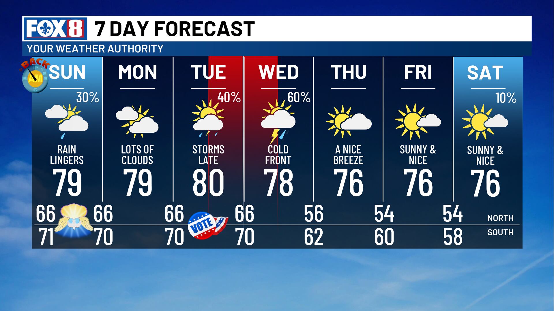
Few showers linger Sunday, then a cold front brings strong storms later this week
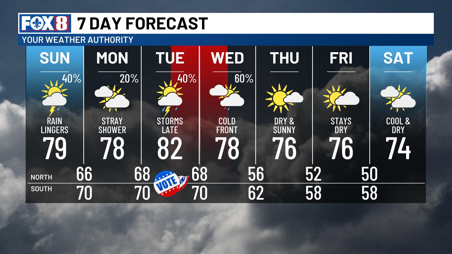
NEW ORLEANS (WVUE) - We’re shifting into a much more active weather pattern as rain chances have returned and are likely to stick around until a midweek cold front moves through the area.
Some lingering rain and storms are possible Sunday. Chances sit at 40%, which is lower than Saturday, but some isolated heavy downpours are possible. Highs will return to the upper 70s.
Monday will be mostly cloudy, with a slight chance for a few passing showers to move through.
Election Day is shaping up to be warm, as highs reach the low 80s ahead of the approaching cold front. A few showers and even some storms are possible during the day, but the bigger chance for rain and storms comes at night as the front gets closer.
That cold front is set to move through sometime late Tuesday or early Wednesday. As the front passes through, a few strong-to-severe storms are possible. There are still some timing and strength details to work out, but plan for some scattered rain.
Behind the front, temperatures will fall to the mid-70s by the end of the week, and we’ll dry back out again.
Another reinforcing shot of cooler air could drop highs into the lower 70s by next weekend.
See a spelling or grammar error in our story? Click Here to report it. Please include the headline.
Subscribe to the Fox 8 YouTube channel.
Ver nota original ↗
¿Querés un resumen rápido de esta noticia, hecho por nuestra IA?