LIVE RADAR: Flood watch in effect as heavy rain drenches South Florida
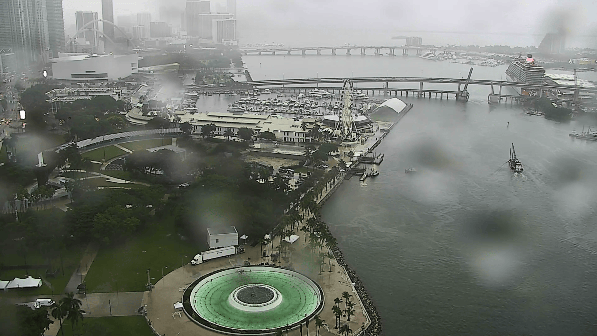
A flood watch is in effect in South Florida amid heavy rain early Sunday morning.
The flood watch is in effect until Monday afternoon, as the precipitation is expected off and on Sunday and Monday. See all weather alerts here.
Strong onshore winds will keep pumping moisture inland so training rain—or heavy rain over the same areas over and over—will lead to flooding. We still have an elevated water table from the strong wind and high tides, so not only will the rainfall rates be higher, but there will be little room for any heavy rain to drain. Flood prone areas should expect to see standing water around South Florida.
Temps remain near seasonable and in the low-80s with the rain and clouds to kick off November. Gusty winds continue to be locked in 10 to 15 mph with gusts 25+ mph. This lingers into Monday, too. Next week, we will start to dry out and warm up.
Bands of heavy rain may cause scattered areas of flooding. The main impacts would be street flooding, road closures, and limited impact to structures in flood prone areas. https://t.co/eWQectqISf
— NWS Miami (@NWSMiami) November 1, 2026
Future forecast
Today
Chance of precipitation is 80%. High near 83. East wind 13 to 15 mph, with gusts as high as 25 mph.
Monday
Chance of precipitation is 80%. High near 83. East wind around 14 mph, with gusts as high as 25 mph.
Tuesday
Chance of precipitation is 50%. Partly sunny, with a high near 85. East wind 8 to 11 mph.
Wednesday
A 30% chance of showers. Mostly sunny, with a high near 86. North wind 3 to 5 mph.
Ver nota original ↗
¿Querés un resumen rápido de esta noticia, hecho por nuestra IA?