Brighter finish to the weekend, tracking late-week storm
Drying Out and Seasonable Sunday
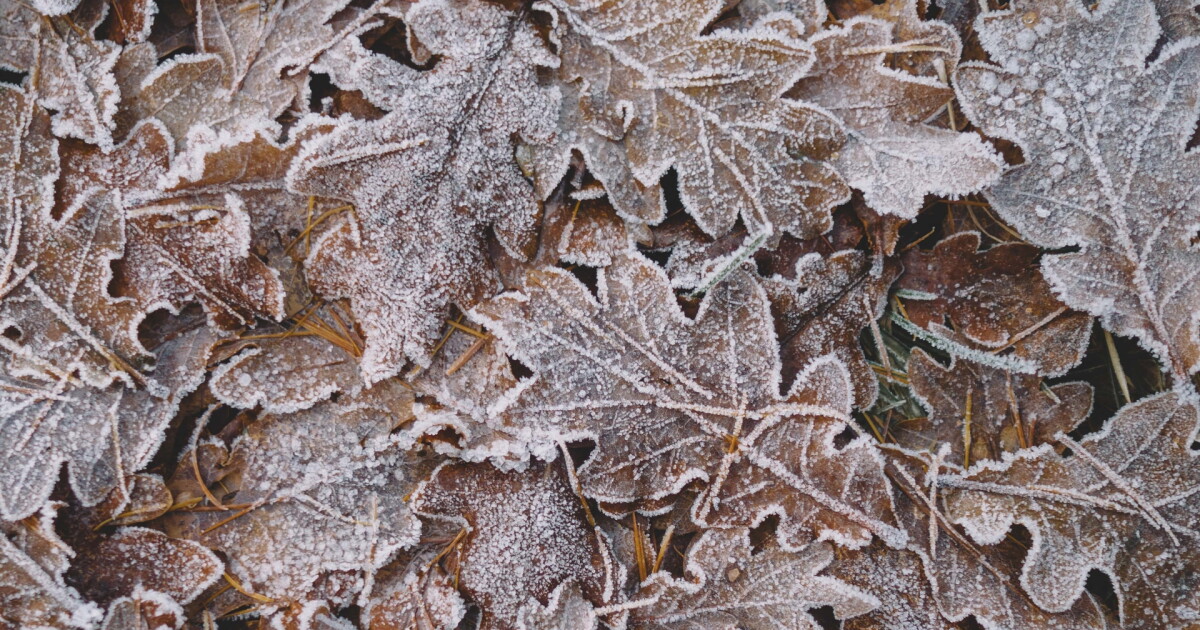
Temperatures to begin Sunday will be cold and frosty, with many locations in the mid 30s. Skies will feature more sunshine on Sunday than Saturday, but clouds will still win out by late Sunday afternoon into Sunday night. Temperatures will be right where they should be for the start of November, with most in the mid 50s this afternoon. It will be breezy, as gusts will be between 20 and 30 mph at times, especially during the afternoon.
Power of 5 Regions Highlight: Snowbelt RegionThe heaviest lake effect rain was across the Snowbelt region Friday night and Saturday, with over an inch in spots, but the rain is over today! The wind will still be around, though, between 25 and 35 miles per hour at times, especially during the afternoon.
Regional WeatherA touch warmer to begin the week, watching late next weekBehind a weak cold front overnight tonight, it will briefly get cooler Monday, but warmer weather returns shortly after. We could get into the 60s by Tuesday.
It will be dry through Thursday, but then a storm is likely to form Thursday or Friday and potentially bring rain and/or a wintry mix. It is still way too soon for details, as it is nearly a week away, but the storm signal is strong and it is likely that a storm will form. Where does it track? How much cold air is there? These are questions that are still being worked on.
5-Day Forecast:Sunday: Some sun, gusty and seasonable. | High: 57
Monday: Mostly sunny and seasonable. | High: 51
Tuesday: More sun, more warmth. | High: 61
Wednesday: More clouds. Cooler and breezy. | High: 56
Thursday: Showers likely. Cooler. | High: 50
Learn the lingo: The Power of 5 Weather Team wants to get you your forecast closer to home. We have broken NEO into 5 separate and distinct regions. Find your region to get your hyper-local forecast!
Cleveland Metro Region: Cuyahoga County. This region includes cities such as Cleveland, Parma, Westlake, Berea, Strongsville, Independence, Solon, Beachwood, and Euclid. Snowbelt Region: Lake, Geauga, and Ashtabula Counties. This includes cities such as Mentor, Geneva, Ashtabula, Bainbridge, Chardon, Burton, and Orwell. Akron-Canton Region: Summit, Stark, and Portage Counties. This region includes cities such as Akron, Canton, Hudson, Ravenna, Mantua, Alliance, and Canal Fulton. West Region: Lorain, Medina, Erie, Huron, Richland, and Ashland Counties. This region includes cities such as Lorain, Wellington, Medina, Lodi, Ashland, Mansfield, Willard, and Sandusky. South Region: Wayne, Holmes, Tuscarawas, Carroll Counties. This region includes Wooster, Millersburg, New Philadelphia, Strasburg, Mineral City, Carrollton, and NewcomerstownYou can send us photos and short videos by filling out the form below:
Want the latest Power of 5 weather team updates wherever you go? Download the News 5 App free now: Apple|Android
Click here to view our interactive radar.
Follow the News 5 Weather Team:
Trent Magill: Facebook & Twitter
Katie McGraw: Facebook & Twitter
Ver nota original ↗
¿Querés un resumen rápido de esta noticia, hecho por nuestra IA?