Beautiful weather for the Front Range on Sunday as highs climb into the 60s
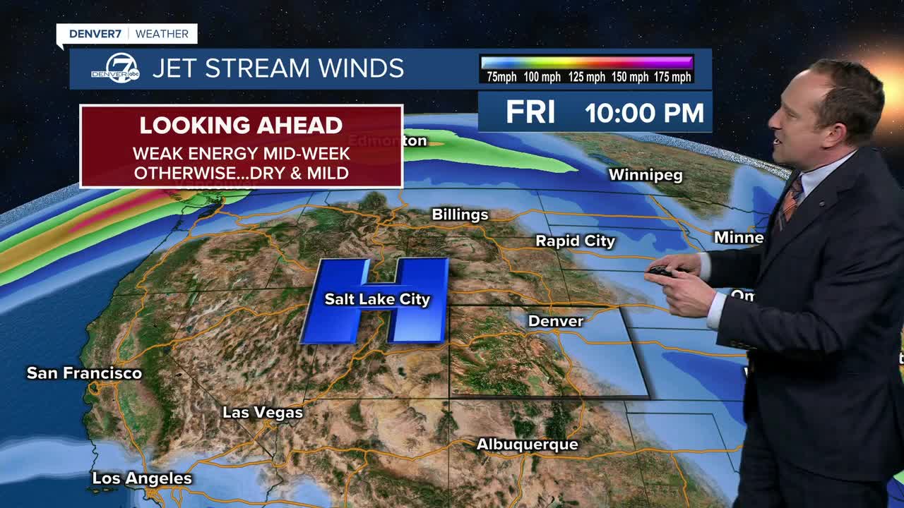
After a couple of cooler and unsettled days early in November we have seen a transition to a calm and stable weather pattern these past few days. This is due to a large dome of high pressure parked across the Great Basin. As this system drifts towards Colorado, it will warm up our highs today by another 3-5 degrees, with mid to upper 60s in metro Denver.
Beautiful weather for the Front Range on Sunday as highs climb into the 60sThe ridge will peak in strength on Monday, which should allow for highs in some neighborhoods to climb into the lower 70s. Sunshine will again prevail throughout the day, and winds will be light out of the southwest in the afternoon.
Weak energy moving across the northern and central plains on Tuesday will send a cold front into Colorado. This system won't be wet enough to bring us any rain or snow, but it could turn a tad gusty on the plains.
Highs will drop a few degrees each day through Wednesday, but still remain in the low to mid 60s across metro Denver. High pressure will re-develop late next week, allowing for a continuation of this unseasonably mild and dry weather. Highs late this week will climb into the middle to upper 60s each afternoon.
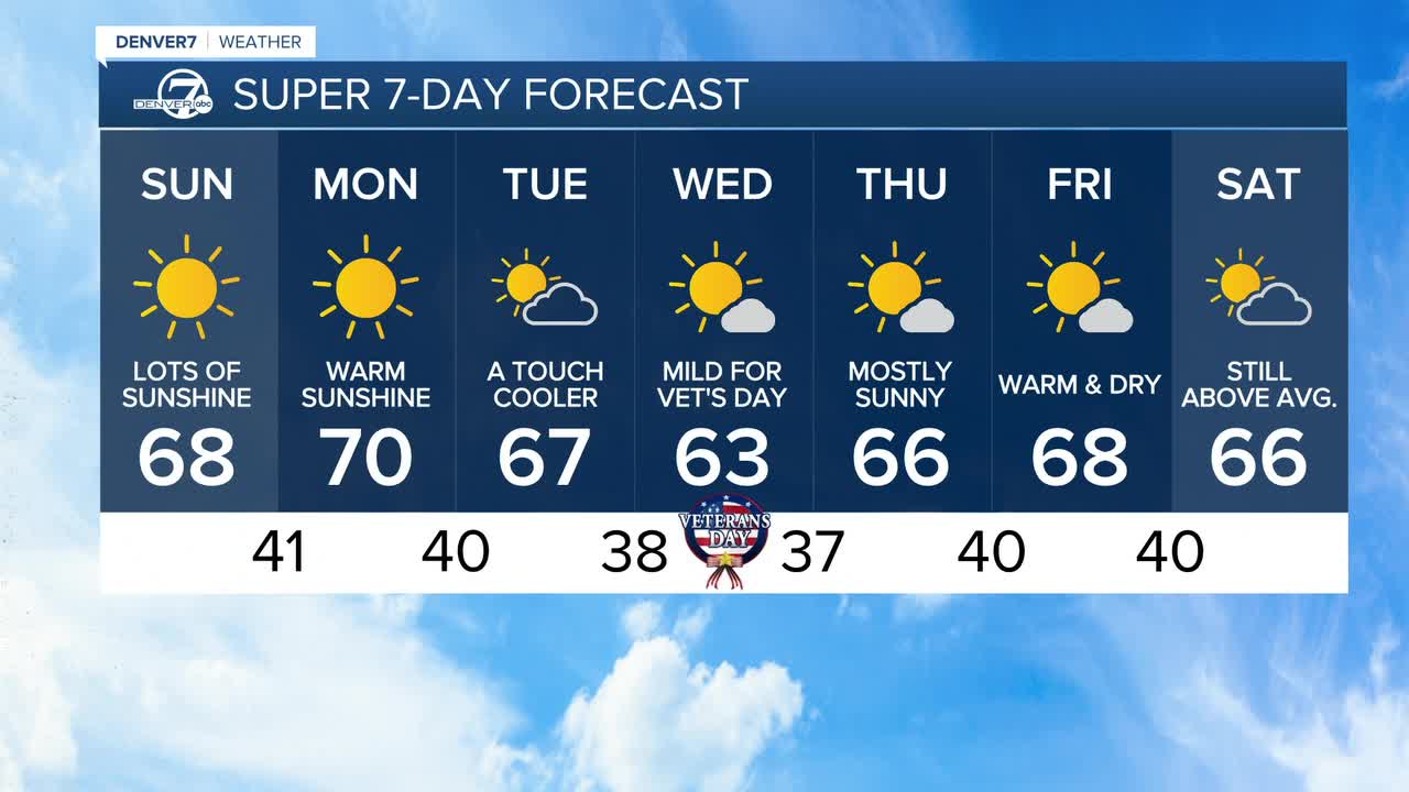
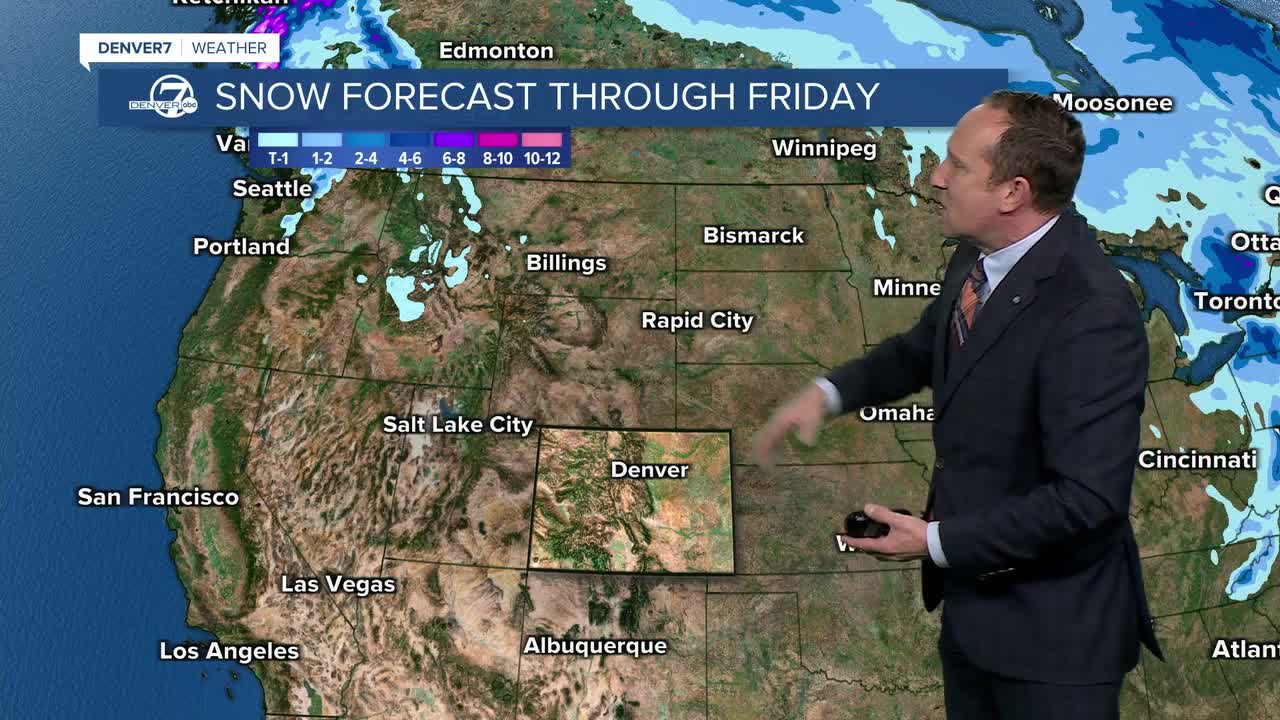
Keeping a close eye on the extended, I'm still not seeing any potential moisture reaching the state until next Sunday (11/15)...at the earliest. Stay tuned!
DENVER WEATHER LINKS: Hourly forecast | Radars | Traffic | Weather Page | 24/7 Weather Stream
Click here to watch the Denver7 live weather stream.
Ver nota original ↗
¿Querés un resumen rápido de esta noticia, hecho por nuestra IA?