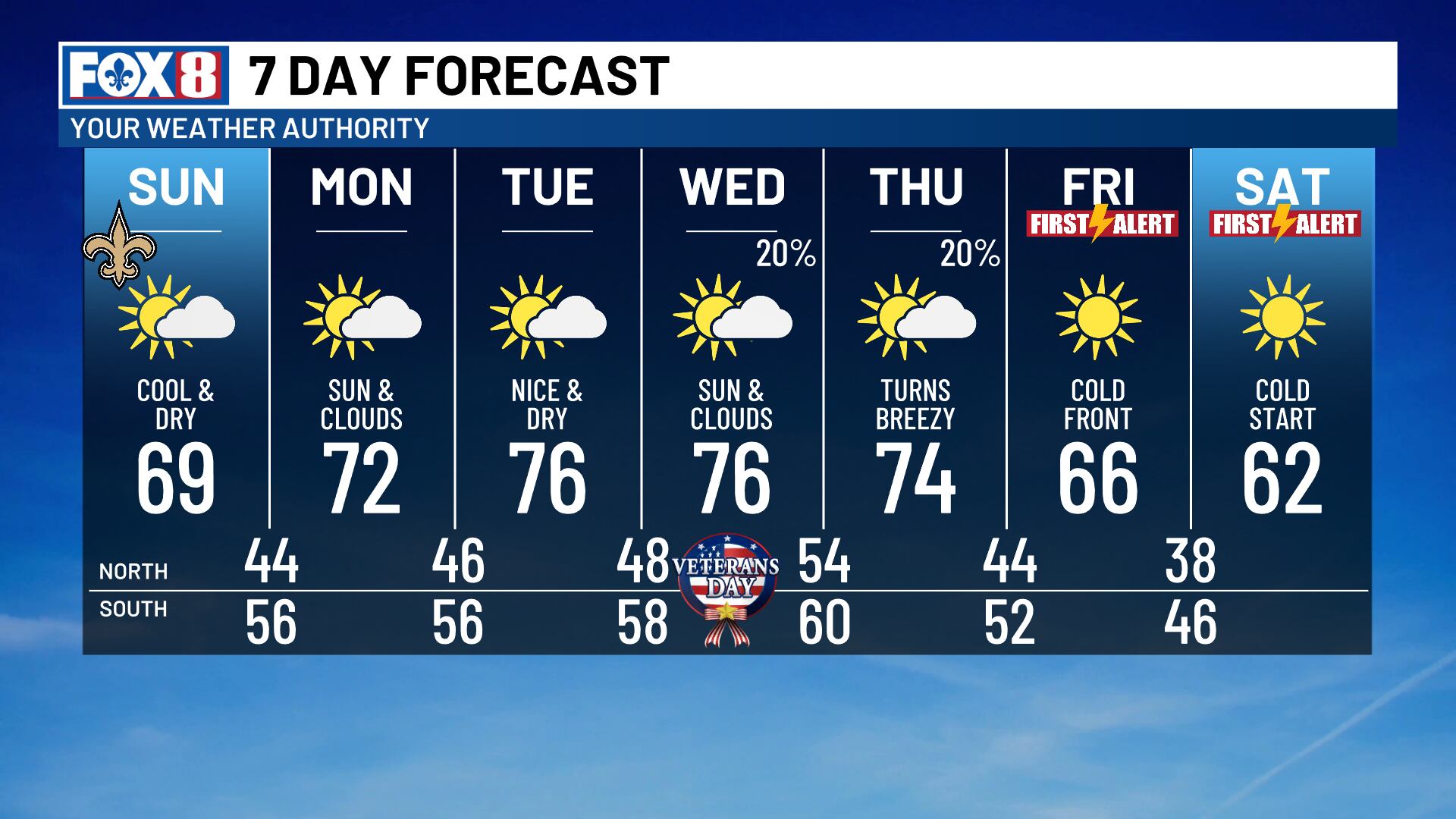
Winter-like temperatures arrive late week as cold front brings chilly mornings
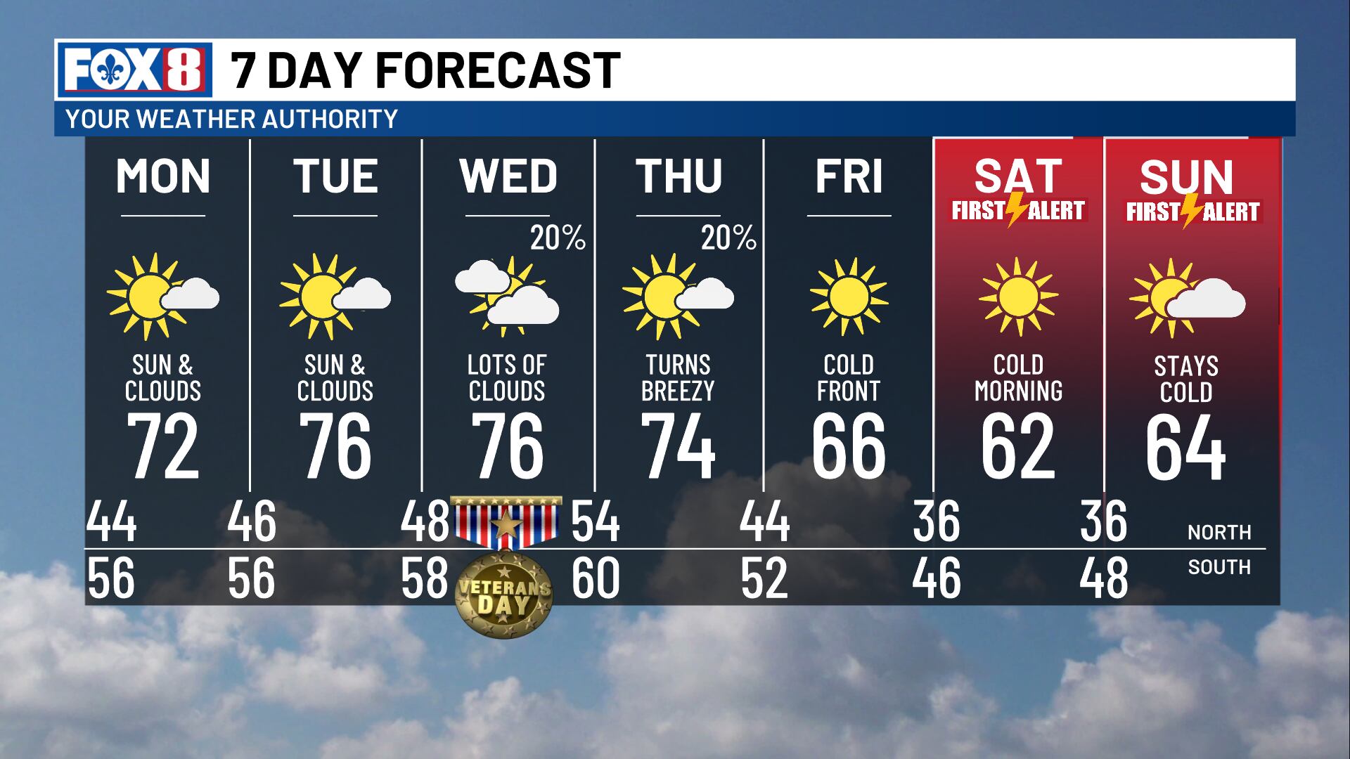
NEW ORLEANS (WVUE) - The week will start sunny & comfortable across southeast Louisiana and southern Mississippi, but a noticeable cooldown is on the way. By week’s end, winter jackets will be needed as a strong cold front brings some of the coldest temperatures of the season so far.
Monday afternoon will bring a rebound into the lower 70s. Temperatures remain in the 70s Tuesday through Thursday, with mostly dry conditions. Rain chances stay low, around 20% Wednesday and Thursday, as the next cold front approaches.
The front is expected to move through Thursday. A few showers cannot be ruled out, especially near the coast, but limited moisture should keep any rainfall light and isolated.
Thursday turns breezy as cooler, drier air moves into the region. The bigger temperature change will arrive Friday, when afternoon highs drop back into the 60s.
Saturday morning will bring the coldest temperatures of the week. Lows are expected to fall into the 30s and 40s, with some inland areas potentially dipping into the mid to upper 30s. If winds become light enough, patchy frost will be possible, especially across the Northshore. A few locations farther north could even approach freezing.
Afternoon highs will stay in the low to mid-60s Friday and Saturday, keeping the weekend cool and comfortable.
Another chilly start is expected Sunday morning, with lows again falling into the 30s and 40s before temperatures begin to rebound heading into the following workweek.
See a spelling or grammar error in our story? Click Here to report it. Please include the headline.
Subscribe to the Fox 8 YouTube channel.
Ver nota original ↗
¿Querés un resumen rápido de esta noticia, hecho por nuestra IA?