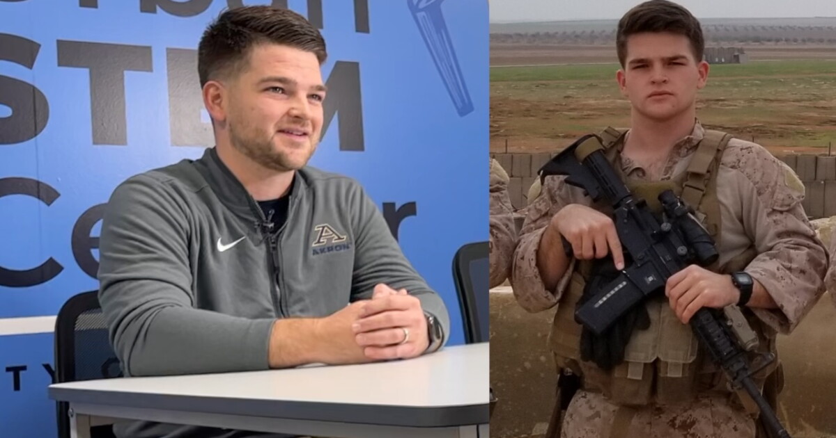
Another mild day for all the Veterans today

More clouds & still mild for Veterans Day
The sun takes a back seat Wednesday. Expect more clouds with highs back into the upper 50s and low 60s. One more mild day!
If you're heading to the Veterans Day parade at 12:30 p.m., grab a jacket, but thankfully you shouldn't need the umbrella. Itll be cloudy and cool, but pretty manageable for mid-November.
A few showers sneak in Wednesday evening. Rain increases by midnight and pockets of heavy rain will be possible into Thursday.
Thursday is a raw oneBy Thursday, were talking chilly rain and gusty winds. Highs will only be around 47. With northerly wind gusts around 30 mph, it will feel even colder.
Some of that rain could come down pretty hard at times as Lake Erie helps give the showers a little extra boost.
As temperatures fall by Thursday evening, rain will transition over to a wintry mix and snow showers by Thursday night and into Friday.
Wait, are those snowflakes Friday?Snow is looking more and more likely for Friday.
Friday turns even colder with highs struggling to around 40. Lake effect showers will continue, and we could start mixing some wet snowflakes in with the rain.
The air higher above us will be cold enough for snowflakes to form. Most should melt on the trip down, but some may not melt completely before reaching us.
So don't be surprised if you look out the window Friday and see cold raindrops and a few big, wet snowflakes falling at the same time.
This doesn't look like a big road-impact situation. Roads should mainly stay wet. It's more of a "Was that our first snowflake?" kind of setup.
Still chilly this weekendWe'll keep a few lake effect rain or wet snow showers around Saturday, but there should be fewer of them. Highs only make it to around 44, so the heavier jacket isn't going anywhere.
Sunday looks a little better. We'll get more sunshine with only an isolated lake effect shower possible and highs around 45.
And if you're heading to the Browns game, layer up. We're talking legit November football weather. Chilly, around the 40s, and just enough of a lake effect chance that you'll want to keep an eye on the forecast before heading out.
The wintry precip will linger the longest across the Snowbelt Region. It could take until Monday!
Regional weather5-Day Forecast:Veterans Day: More clouds. Cooler and breezy. Few showers late. | High: 59
Thursday: Soaked with (at times, heavy) chilly rain. | High: 47
Friday: Showers continue. 1st Flakes? Colder. | High: 40
Saturday: Lake effect rain/snow showers. Chilly. | High: 44
Sunday: Isolated lake effect rain/snow showers. Chilly. | High: 45
Learn the lingo: The Power of 5 Weather Team wants to get you your forecast closer to home. We have broken NEO into 5 separate and distinct regions. Find your region to get your hyper-local forecast!
Cleveland Metro Region: Cuyahoga County. This region includes cities such as Cleveland, Parma, Westlake, Berea, Strongsville, Independence, Solon, Beachwood, and Euclid. Snowbelt Region: Lake, Geauga, and Ashtabula Counties. This includes cities such as Mentor, Geneva, Ashtabula, Bainbridge, Chardon, Burton, and Orwell. Akron-Canton Region: Summit, Stark, and Portage Counties. This region includes cities such as Akron, Canton, Hudson, Ravenna, Mantua, Alliance, and Canal Fulton. West Region: Lorain, Medina, Erie, Huron, Richland, and Ashland Counties. This region includes cities such as Lorain, Wellington, Medina, Lodi, Ashland, Mansfield, Willard, and Sandusky. South Region: Wayne, Holmes, Tuscarawas, Carroll Counties. This region includes Wooster, Millersburg, New Philadelphia, Strasburg, Mineral City, Carrollton, and NewcomerstownYou can send us photos and short videos by filling out the form below:
Want the latest Power of 5 weather team updates wherever you go? Download the News 5 App free now: Apple|Android
Click here to view our interactive radar.
Follow the News 5 Weather Team:
Trent Magill: Facebook & Twitter
Katie McGraw: Facebook & Twitter
Ver nota original ↗
¿Querés un resumen rápido de esta noticia, hecho por nuestra IA?