Wet, windy & colder as our first real taste of winter arrives
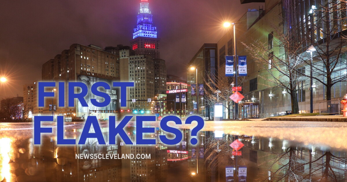
Thursday: Cold, wet and windy
By early Thursday, were soaked.
Widespread rain could impact your morning and cause the commute to be slower thanks to lowered visibility and ponding on the roadway.
Temps will be stuck in the 40s all day. Add a gusty NW wind and itll feel even colder. This is the kind of chilly rain that gets through you pretty quickly.
Plan on the heavier coat. Grab the umbrella, although the wind may make it annoying to use at times. Thursday is definitely not the day to leave either one at home.
The widespread rain tapers during the afternoon and evening as lake effect rain then starts setting up as colder air pours across Lake Erie. Well, all of the great Lakes.
Friday: Snow for someHeres the fun part.
Theres at least a chance we see our first snowflakes of the season late Thursday and continuing into early Friday.
Dont get the shovel out. In fact, most of us probably wont see measurable snow at all.
This is mainly a lake effect rain setup. Temps look just warm enough that most of what falls stays rain. But within some of the heavier lake effect showers, it could come down hard enough to cool things just enough for a few wet snowflakes to survive the trip to the ground.
So yes, you might look out the window Friday morning and spot a few flakes mixed in.
Anything that does manage to stick would be very minor and should melt quickly.
Where the lake effect sets up will matterWind direction will make a big difference in how concentrated the rain becomes.
A more northerly wind tends to spread lake effect showers over a wider area, which can make individual bands less intense. Turn that wind more northwesterly, though, and the showers can become a little more focused.
That matters for our snowflake chances. A heavier shower has a better shot at dragging colder air down and slowing some of the melting before those flakes reach the ground.
Either way, this is not looking like a snowstorm.
It is, however, our first opportunity to see flakes flying, and thats always a little exciting around here.
Our first real taste of winterThe bigger story goes beyond Friday mornings snowflake chance.
Were heading into a stretch of cold, wet and windy weather. Think of it as our first real preview of winter.
Cold air moving across a relatively mild Lake Erie gets the lake effect machine going, and at first, the lake is still helping produce more rain than snow.
As we get deeper into the season and colder air becomes easier to find, setups like this become much more interesting.
For now, keep the snow brush tucked away.
But maybe dont bury it too deep in the garage.
Lake effect snow and rain showers will linger the longest across the Snowbelt Region. By Sunday, it will be much drier across NEO.
Regional weather5-Day Forecast:Thursday: Soaked with (at times, heavy) chilly rain. | High: 47
Friday: Showers continue. 1st flakes for some. Colder. | High: 40
Saturday: Lake effect rain/snow showers. Chilly. | High: 43
Sunday: Isolated lake effect rain/snow showers. Chilly. | High: 47
Monday: More sun but still cool. | High: 47
Learn the lingo: The Power of 5 Weather Team wants to get you your forecast closer to home. We have broken NEO into 5 separate and distinct regions. Find your region to get your hyper-local forecast!
Cleveland Metro Region: Cuyahoga County. This region includes cities such as Cleveland, Parma, Westlake, Berea, Strongsville, Independence, Solon, Beachwood, and Euclid. Snowbelt Region: Lake, Geauga, and Ashtabula Counties. This includes cities such as Mentor, Geneva, Ashtabula, Bainbridge, Chardon, Burton, and Orwell. Akron-Canton Region: Summit, Stark, and Portage Counties. This region includes cities such as Akron, Canton, Hudson, Ravenna, Mantua, Alliance, and Canal Fulton. West Region: Lorain, Medina, Erie, Huron, Richland, and Ashland Counties. This region includes cities such as Lorain, Wellington, Medina, Lodi, Ashland, Mansfield, Willard, and Sandusky. South Region: Wayne, Holmes, Tuscarawas, Carroll Counties. This region includes Wooster, Millersburg, New Philadelphia, Strasburg, Mineral City, Carrollton, and NewcomerstownYou can send us photos and short videos by filling out the form below:
Want the latest Power of 5 weather team updates wherever you go? Download the News 5 App free now: Apple|Android
Click here to view our interactive radar.
Follow the News 5 Weather Team:
Trent Magill: Facebook & Twitter
Katie McGraw: Facebook & Twitter
Ver nota original ↗
¿Querés un resumen rápido de esta noticia, hecho por nuestra IA?