Potential atmospheric river could bring heavy rain and blustery winds to western WA
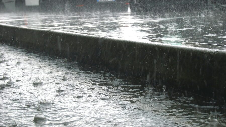
November is normally the wettest month of the year. It also happens to rank as the number one month for river flooding. The primary reason is that there is usually little mountain snowpack to soak up those warmer rainy days when snow levels rise.
However, after a dry start to the month, November is well on its way to retaining its wettest-of-the-year image. A parade of wet weather systems is lined up across the North Pacific.
The next significant system is set to spread rain onshore late Friday into Saturday.
Another stronger weather system is forecast to arrive Saturday night into Sunday. This system will also produce strong, blustery winds, particularly along the coast and from about Everett northward.
What is an atmospheric river?
The weekend weather system has characteristics of an atmospheric river. The primary source of its moisture is coming from the soon-to-be former typhoon Cempaka, currently moving northeast into the western North Pacific.
As western Washington moves through this flood season into March, the term atmospheric river will occasionally be used. What is an atmospheric river, also known as a pineapple express?
Atmospheric rivers bring the bulk of mid-latitude rainfall from the subtropics into both the Northern and Southern Hemispheres. Many atmospheric rivers do not result in river flooding, but some do bring a dose of heavy rain over a period of a few days, along with elevated snow levels in the mountains, resulting in swollen rivers.
Some of the more prolific atmospheric rivers in recent years sparked the major floods of November 1986, November 1990, November 1995, November 2006, January 2009, November 2015, November 2021, and just last year in December. Total rain amounts in the Cascades reached as high as 30 to 40 inches of rain. Snow levels also rose to between 6,000 and 8,000 feet for these warm, wet events.
Notice that many of these significant flood events from an atmospheric river occurred in the month of November.
Once a mountain snowpack is established during the winter season, the snow acts like a sponge and absorbs much of the warmer rain. Only lower-elevation snow contributes to runoff into rivers.
As a result, significant flooding can and does occur from December into March, but often less frequently than in November.
Moisture from the subtropics frequently moves into the middle latitudes, including western Washington, all around the globe.
If interested in monitoring the latest on what is going on with this transport of moisture north into the North Pacific, there is a helpful and very illustrative weather satellite loop of what is called precipitable water. Be sure to adjust the dates to a desired range.
In this weather satellite loop, the North Pacific and western Washington are in the upper middle of the images.
Also, once soils reach full saturation, these kinds of heavy rain events can also trigger landslides.
This weekend
Thanks to the overall dry weather in October and early this month, most area rivers remain well within their banks. The only exception is the easiest and most frequent to exceed flood stage, the Skokomish River.
This series of incoming wet North Pacific weather systems should raise river levels, but for now, no significant flooding is anticipated heading into next week.
These weather systems will also keep temperatures relatively mild, with highs generally in the 50s and lows in the 40s. With the warmer-than-usual weather, mountain snow levels will also be above highway pass levels before easing closer to 4,000 feet early next week.
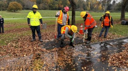
With more tree leaves to fall and the rain runoff, storm drains can get clogged, producing ponding of water on roadways. Public works authorities ask everyone to do their best to keep local storm drains clear of leaves.
RELATED STORIES


What is a 100-year flood?
During the flood season from late October through March, when many rivers can rise well above flood stage, the term 100-year flood can be used. What does that mean really mean, though?
The term 100-year flood often gets misunderstood, such as, I just survived a 100-year flood, so I am good for another 99 years. Sorry, that is not the case.
The term actually means there is a 1% chance of this kind of significant flood on a specific river each year. As an analogy, imagine a six-sided die. What are the odds of rolling a four? One in six, right? Now roll it again. What are the odds of getting a four again? The same — one in six.
Those odds are the same for a 1% or 100-year flood. If you got a 100-year flood this season, next season it is the same 1% chance of getting another 100-year flood. That situation has occurred several times in western Washington history.
As always during flood season, remain vigilant and prepared in case there is an extended heavy rain event resulting in significant flooding.
To keep up with the latest on western Washington rivers and the potential for landslides, monitor the National Weather Service website. With the rainy season here, it may be worthwhile to keep an eye on the rivers if you live near or commute through any of western Washington’s river valleys.
Ted Buehner is the KIRO Newsradio meteorologist. Follow him on X and Bluesky. Read more of his stories here.
Ver nota original ↗
¿Querés un resumen rápido de esta noticia, hecho por nuestra IA?