NBC New York — Local
Live updates: Tornado warnings, watches hit NYC, NJ as strong storms threaten
What to Know
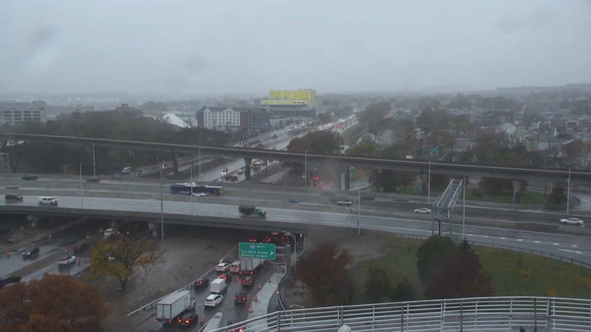
- Torrential rain and strong winds are pummeling the tri-state area, threatening flash floods, tornadoes, and hail.
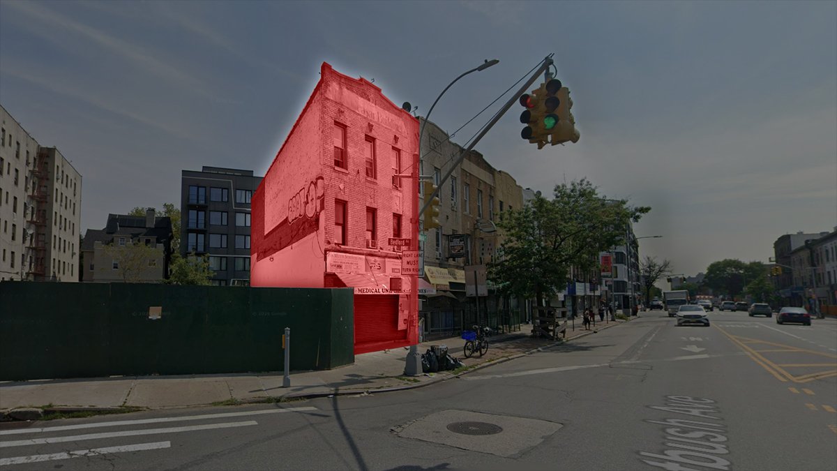
- Vehicles were said to be trapped in high waters in parts of NJ by early afternoon; in Queens, a tornado warning was in effect until 2 p.m. Watches were issued elsewhere.
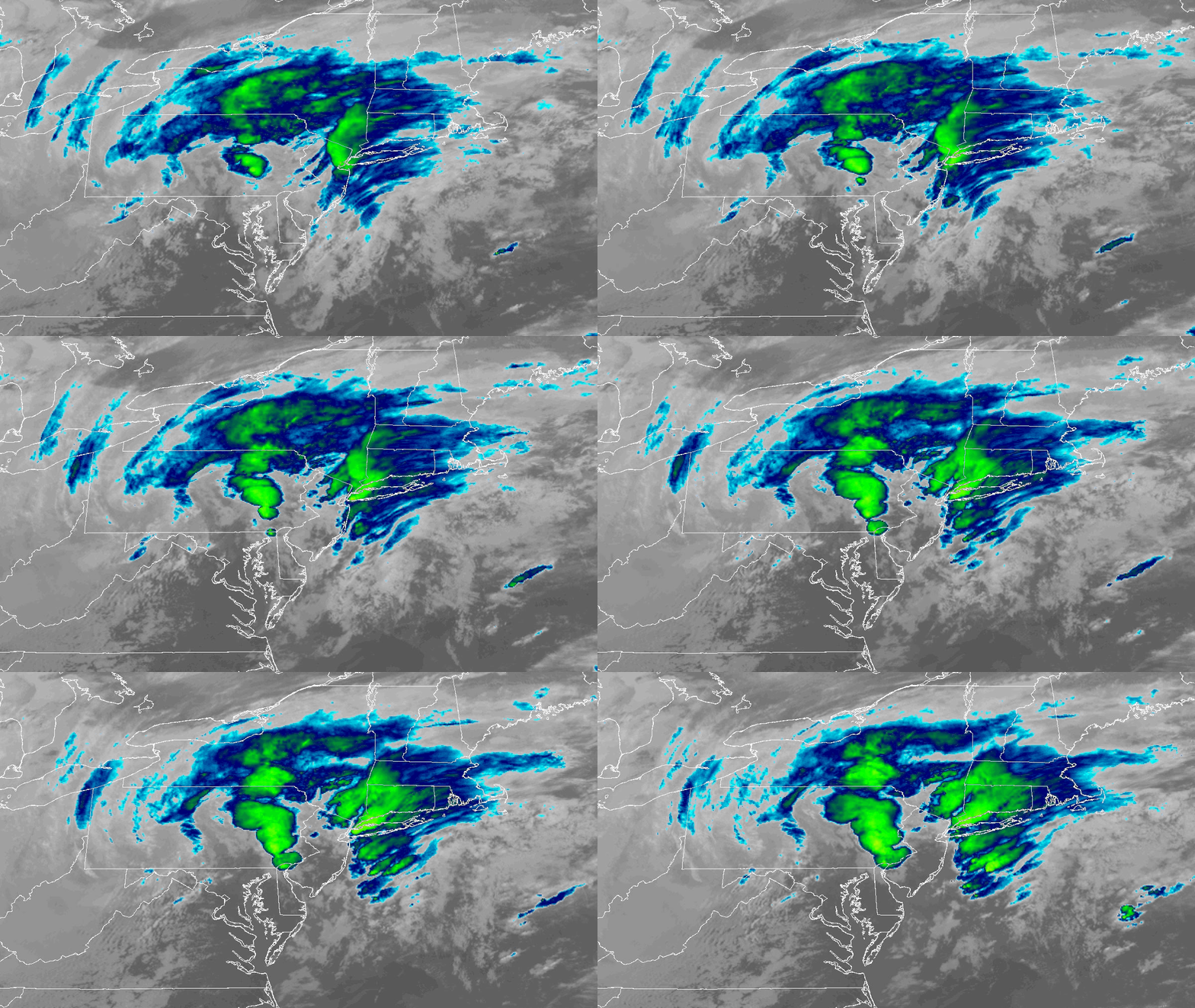
- The heaviest storms are expected to hit between about 1 p.m. and 7 p.m.,; they’ll come from South Jersey and move northeast towards the city, Long Island and Connecticut.
- Conditions should become less favorable for stronger storms by the late afternoon and evening hours; the overall threat remains low.
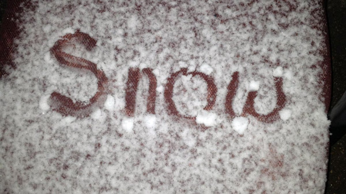
A developing storm system is bringing threats of severe weather, periods of heavy rain, and even accumulating snow to parts of the tri-state before a much colder air mass settles in.
Tornado warnings and watches are in effect. Check severe weather alerts here.
Track the latest developments in our live blog below:
📄 Contenido indexado automáticamente. No es de autoría de altabusqueda.com; los derechos pertenecen a su fuente: NBC New York — Local.
Ver nota original ↗
Ver nota original ↗
🤖 Profundizá esta noticia con OIMA (IA)
¿Querés un resumen rápido de esta noticia, hecho por nuestra IA?
Respuestas de OIMA · IA, sobre esta noticia ·
Abrir OIMA Chat ↗