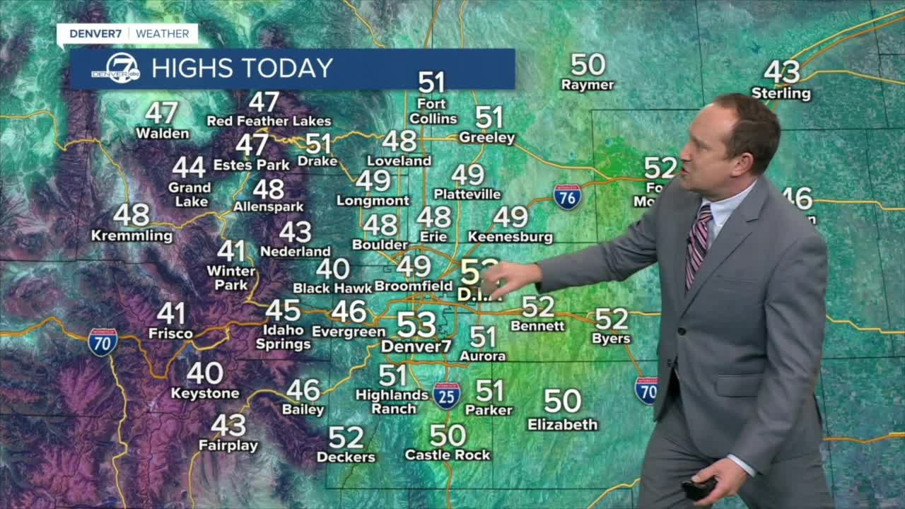
Sunshine returns to the Front Range on Sunday, with highs in the upper 50s
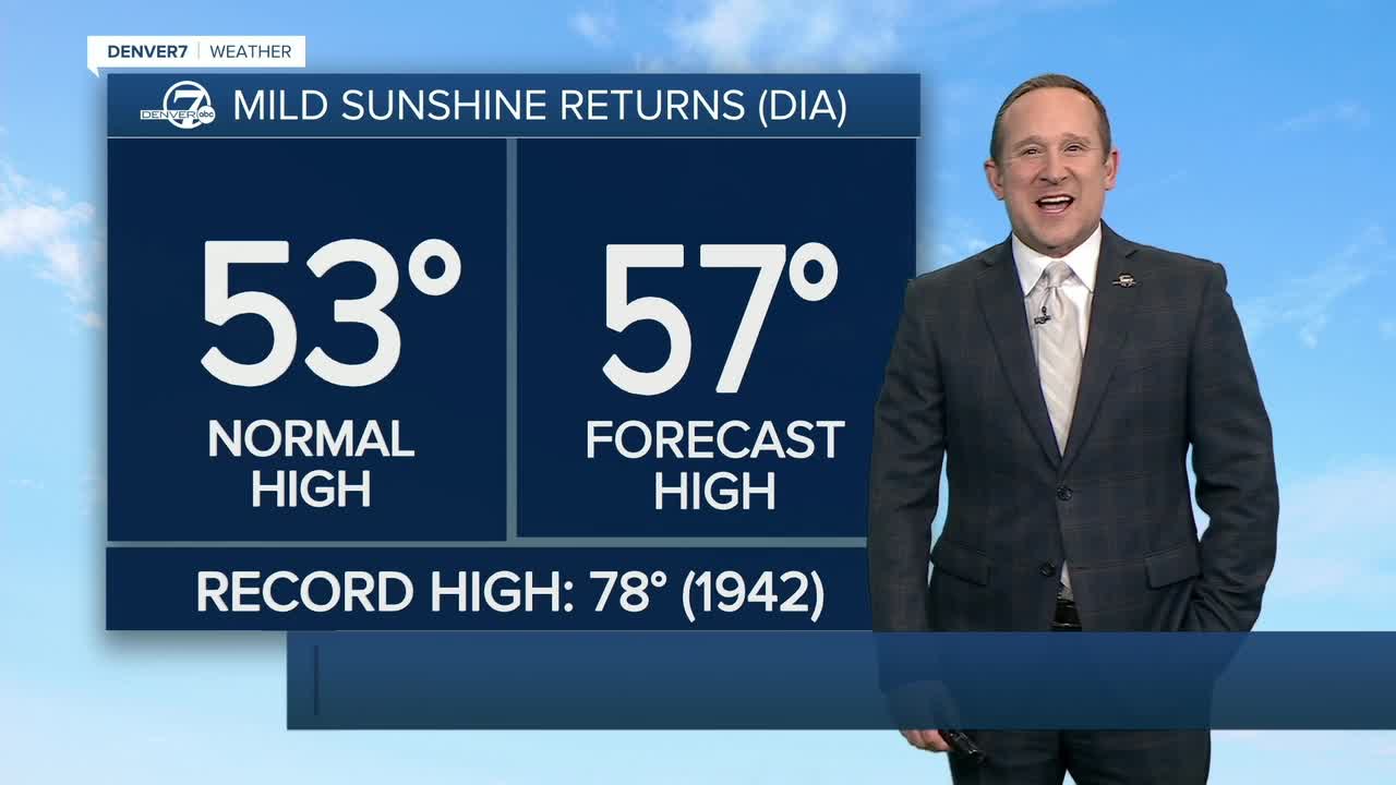
A DENSE FOG ADVISORY will remain in effect this morning for Limon and the I-70 corridor, as well as for parts of Southern Colorado. In these areas, the fog may be quite stubborn to burn off, resulting in much cooler temperatures compared to the Denver metro area. Highs in Denver today will warm into the upper 50s.
High pressure will regain control of our weather into the upcoming week, resulting in another blocking pattern that brings dry skies and warmth to Colorado. Highs Monday and Tuesday afternoon will climb into the lower to middle 60s.
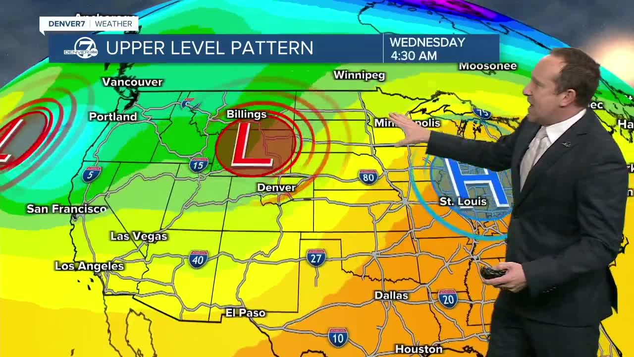
Our first in a series of storms will quickly move across the state on Wednesday, with a dusting to a couple of inches of snow possible in the mountains. Precipitation does not look likely in Denver, but it will turn breezy and cooler Wednesday across the metro area. Highs will return to the lower to middle 50s.
Thursday will be dry and seasonal, with temperatures in the mid 50s. That brings us to Friday, and the latest update for snow lovers does not look good.
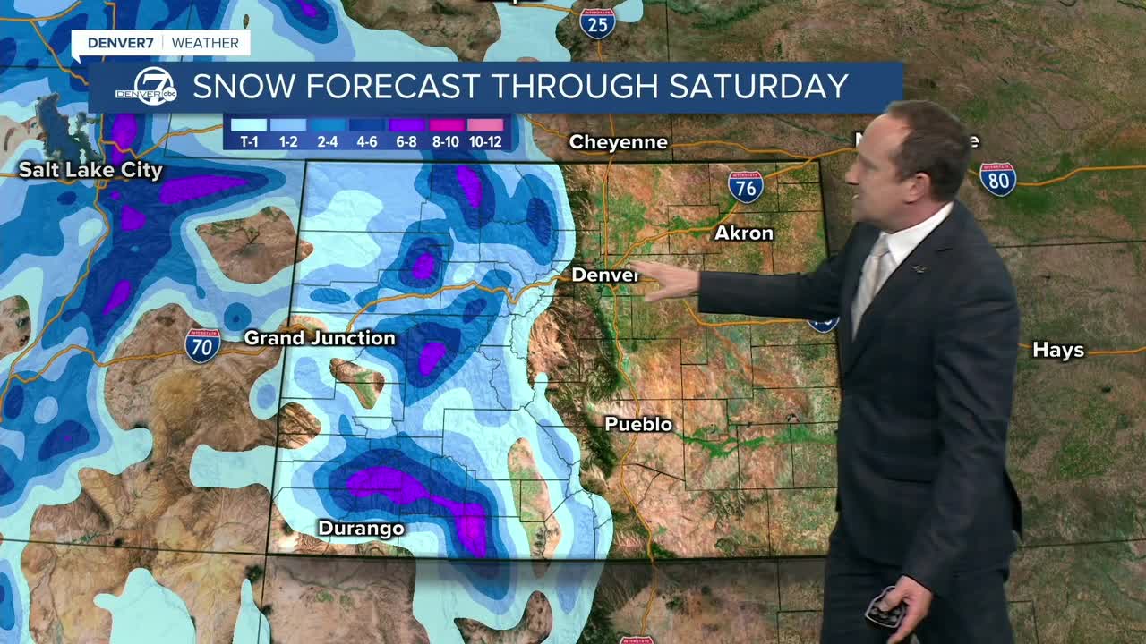
Longer-range models continue to struggle with the evolution and track of the storm, but most agree (for now) that it looks weaker and less impactful for Colorado than what we were seeing just a few days ago. So, what does this mean? It's still tough to nail down specifics this far out, so for now, we'll maintain at least a chance for rain and snow showers in the metro area Friday and early Saturday, but that could change. Stay tuned to updates from the Denver7 weather team throughout the week for the very latest.
DENVER WEATHER LINKS: Hourly forecast | Radars | Traffic | Weather Page | 24/7 Weather Stream
Click here to watch the Denver7 live weather stream.
Ver nota original ↗
¿Querés un resumen rápido de esta noticia, hecho por nuestra IA?