Sun fueled rebounds this week
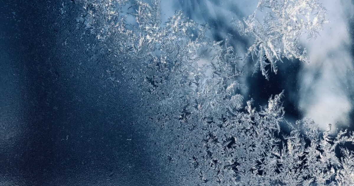
If you had to scrape the windshield this morning, you definitely weren't alone. Frost made it all the way to the lakeshore, but the tradeoff is a really nice afternoon.
Sunshine takes over today with highs near 52. Once we get through the cold start, it's a great day to tackle some yard work, rake leaves or just get outside. You'll want the heavier jacket this morning, but you probably won't need it zipped up by this afternoon.
Another frosty start WednesdayKeep the ice scraper handy.
Clear sky and light winds will allow temps to tumble again tonight, setting us up for another frosty Wednesday morning. Give yourself an extra minute or two before heading out just in case the windshield needs to be scraped.
After that, Wednesday looks fantastic. We'll have plenty of sunshine with highs around 58.
A little warmer each dayWe're done with the really chilly mornings after Wednesday, at least for a few days.
Highs climb to around 60 Thursday, 62 Friday and 63 Saturday. Even better, mornings won't be quite as cold. That's a pretty comfortable late-November stretch for getting the yard ready for winter, finishing up outdoor projects or squeezing in an afternoon walk.
Sunday brings our next small change. Highs slip back into the upper 50s with a few light rain showers possible. It doesn't look like an all-day washout, but you may want to keep outdoor plans a little flexible.
5-Day Forecast:Tuesday: Sunny & Milder. | High: 52
Wednesday: Sunny & above average. | High: 57
Thursday: Sunny & even warmer. | High: 60
Friday: Partly cloudy & mild | High: 61
Saturday: More clouds & a touch warmer. | High: 63
Quick Winter Reminders Check your tire pressure: Sudden temperature drops cause tire pressure to dip, which often triggers that pesky dashboard warning light on cold mornings. Toss a brush in the trunk: Even though roads will stay wet rather than icy today, overnight lows in the 30s can leave a thin layer of frost on your windshield. Dress for the wind, not the thermometer: A 40-degree day feels drastically different when a brisk northwest breeze is blowing off Lake Erie. Wind-resistant layers are your best friend this weekend.Learn the lingo: The Power of 5 Weather Team wants to get you your forecast closer to home. We have broken NEO into 5 separate and distinct regions. Find your region to get your hyper-local forecast!
Cleveland Metro Region: Cuyahoga County. This region includes cities such as Cleveland, Parma, Westlake, Berea, Strongsville, Independence, Solon, Beachwood, and Euclid. Snowbelt Region: Lake, Geauga, and Ashtabula Counties. This includes cities such as Mentor, Geneva, Ashtabula, Bainbridge, Chardon, Burton, and Orwell. Akron-Canton Region: Summit, Stark, and Portage Counties. This region includes cities such as Akron, Canton, Hudson, Ravenna, Mantua, Alliance, and Canal Fulton. West Region: Lorain, Medina, Erie, Huron, Richland, and Ashland Counties. This region includes cities such as Lorain, Wellington, Medina, Lodi, Ashland, Mansfield, Willard, and Sandusky. South Region: Wayne, Holmes, Tuscarawas, Carroll Counties. This region includes Wooster, Millersburg, New Philadelphia, Strasburg, Mineral City, Carrollton, and NewcomerstownYou can send us photos and short videos by filling out the form below:
Want the latest Power of 5 weather team updates wherever you go? Download the News 5 App free now: Apple|Android
Click here to view our interactive radar.
Follow the News 5 Weather Team:
Trent Magill: Facebook & Twitter
Katie McGraw: Facebook & Twitter
Ver nota original ↗
¿Querés un resumen rápido de esta noticia, hecho por nuestra IA?